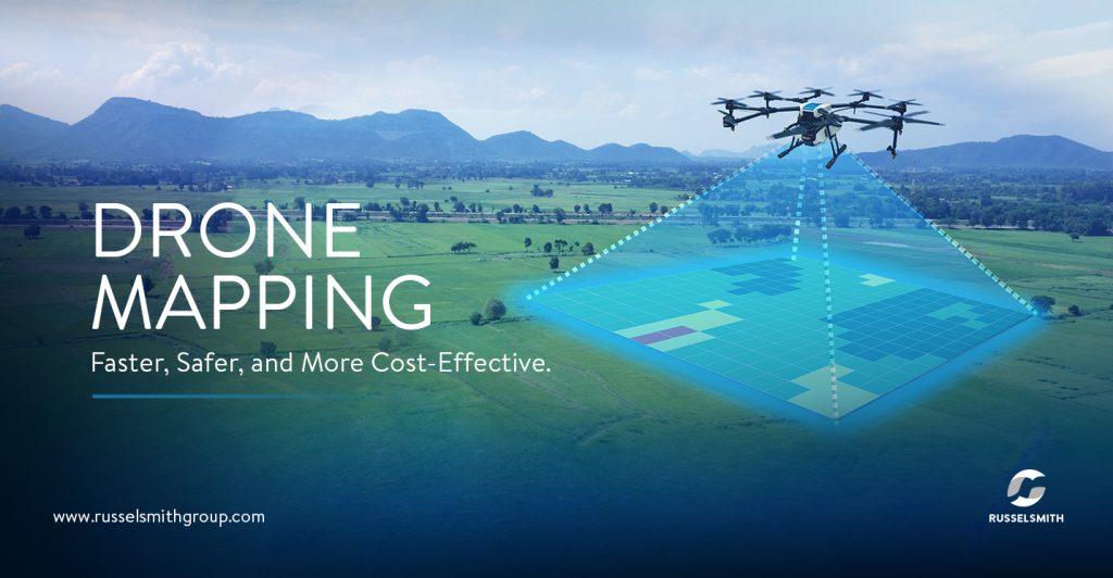
Drone Mapping A New Frontier in Surveying and Mapping
Drone mapping, also known as aerial mapping or unmanned aerial vehicle (UAV) mapping, has revolutionized the surveying and mapping industry. By utilizing drones equipped with high-resolution cameras and sensors, it is possible to capture detailed aerial imagery and create accurate digital maps of vast areas in a fraction of the time it would take traditional methods.
How Drone Mapping Works
Drone mapping involves the following steps:
- Flight Planning: A flight plan is created, specifying the area to be mapped and the altitude and speed of the drone.
- Data Collection: The drone flies over the area, capturing images and data using its onboard sensors.
- Image Processing: The captured images are processed using specialized software to create a 3D model of the area.
- Data Analysis: The 3D model can be analyzed to extract information such as elevations, distances, and areas.
Advantages of Drone Mapping
- Speed and Efficiency: Drones can cover large areas quickly, reducing the time and cost associated with traditional surveying methods.
- Accuracy: Drone mapping can provide highly accurate measurements and data, thanks to advanced sensors and image processing techniques.
- Accessibility: Drones can access areas that are difficult or dangerous for humans to reach, such as steep slopes, cliffs, and disaster zones.
- Cost-Effective: Drone mapping can be more cost-effective than traditional surveying methods, especially for large areas.
- Versatility: Drones can be equipped with various sensors, such as thermal cameras and LiDAR, to capture different types of data.
Applications of Drone Mapping
Drone mapping has a wide range of applications, including:
- Urban Planning: Creating detailed maps of cities and urban areas for planning and development.
- Construction: Monitoring construction progress, measuring volumes of materials, and detecting potential hazards.
- Agriculture: Assessing crop health, monitoring irrigation, and measuring field areas.
- Environmental Monitoring: Studying land use changes, deforestation, and natural disasters.
- Archaeology: Discovering and documenting historical sites.
- Real Estate: Creating virtual tours of properties and assessing land values.
Drone mapping is a rapidly growing field with numerous applications. As drone technology continues to advance, we can expect to see even more innovative and efficient uses of this powerful tool.